About
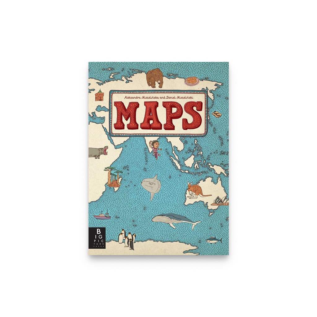
An oversized illustrated atlas by the Polish husband-and-wife team Aleksandra Mizielinska and Daniel Mizielinski, first published in Warsaw in 2012 and in English by Big Picture Press in 2013. Fifty-one hand-drawn maps cover six continents and forty-two countries, and each one carries between 90 and 120 small illustrations: native animals and plants, national dishes, monuments, sports, festivals, and the people the country is known for. There is no photography and no standard cartographic key, so a child reads a country by what lives and happens there before they ever meet its borders as an abstraction, which is the order in which geography actually sticks. The pages are 27 by 37 cm, big enough for two kids to lie on the floor and work across one map at the same time. 112 pages, hardcover. It took the authors three years to draw, and the first map they finished was Poland.
Why we picked it
 Sam
SamHand-drawn maps of 42 countries, each one filled with the animals, dishes, and people from that place. Kids get a sense of how big the world is, and if you have a trip coming up, it’s a good way to get them excited about where they’re going.
- Product
- Maps
- Price
- $40
- Age range
- 6+ years
- Drops
- WorldschoolingSep 6
- Added on
- Sep 6, 2026
More from Books
See all
Editor's Pick
Buy Charts for Babies: A Picture Book